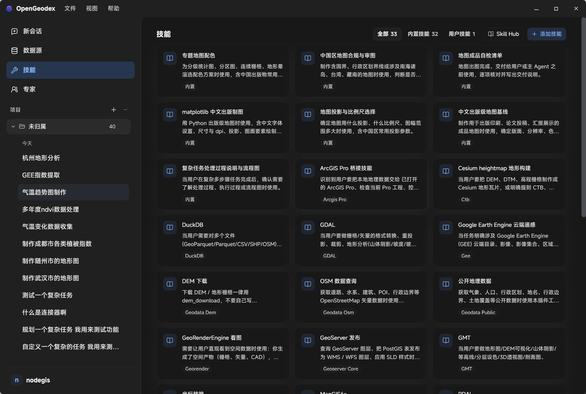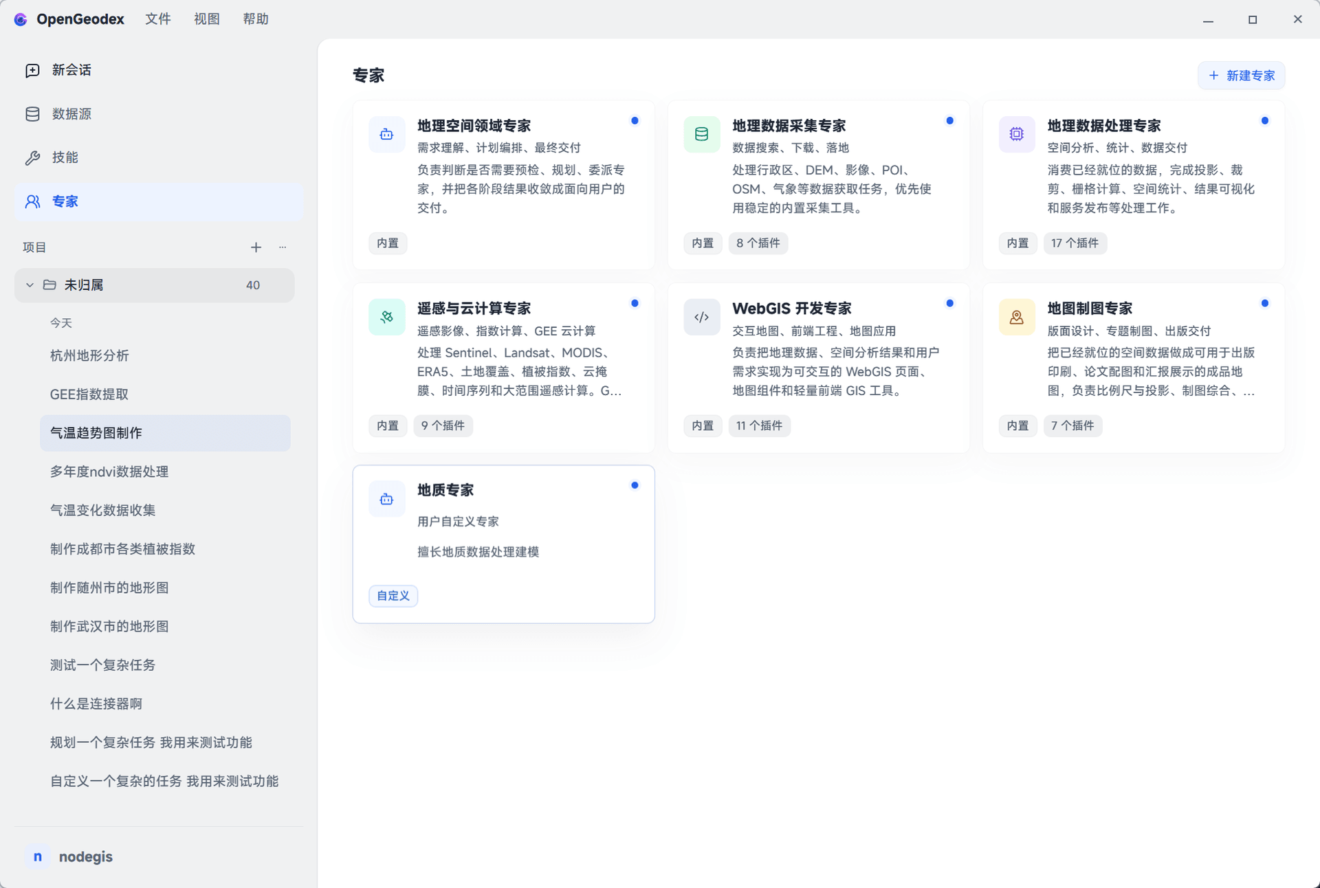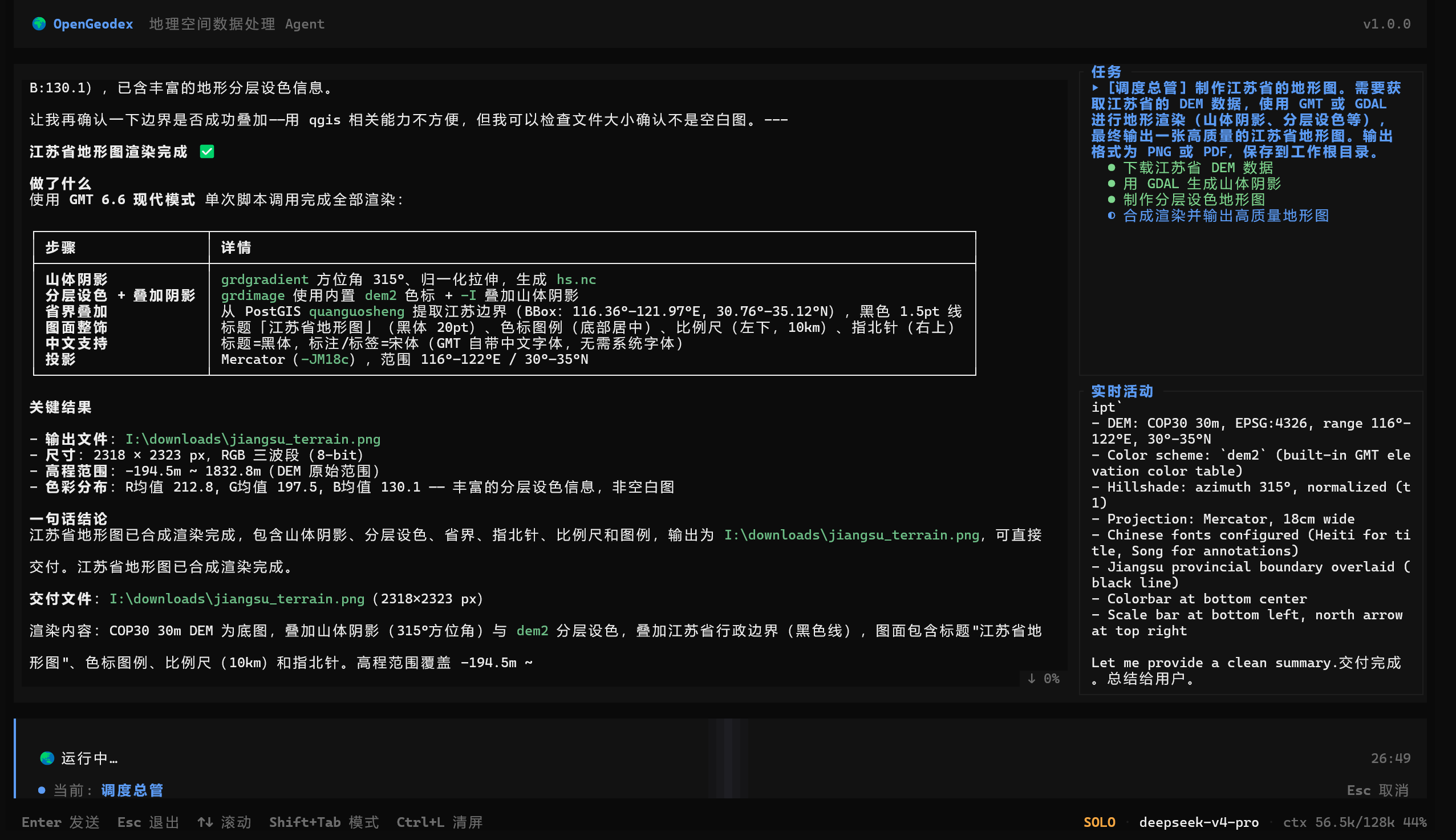
Get geospatial work done in one sentence
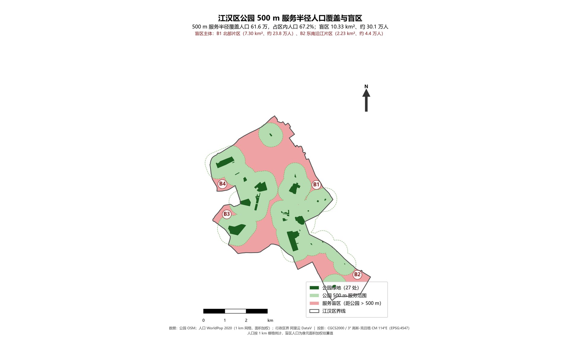
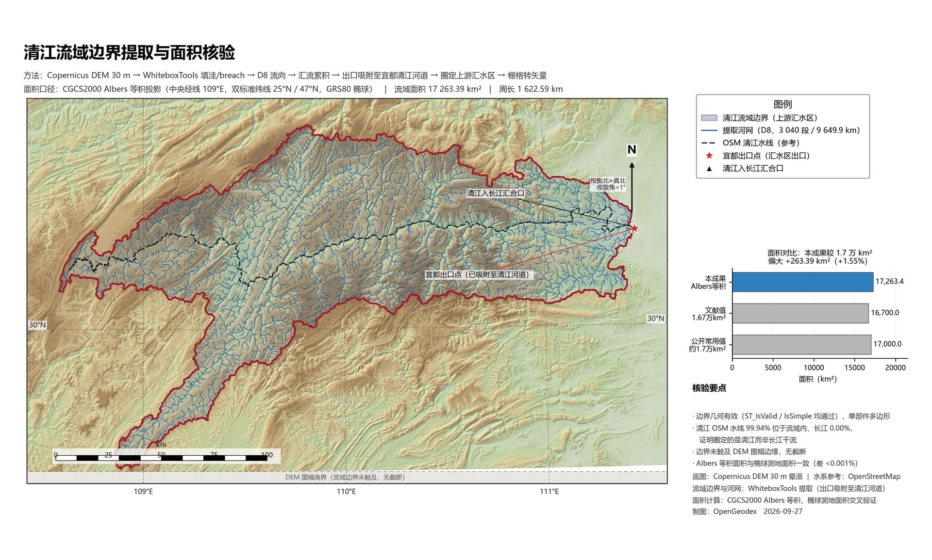
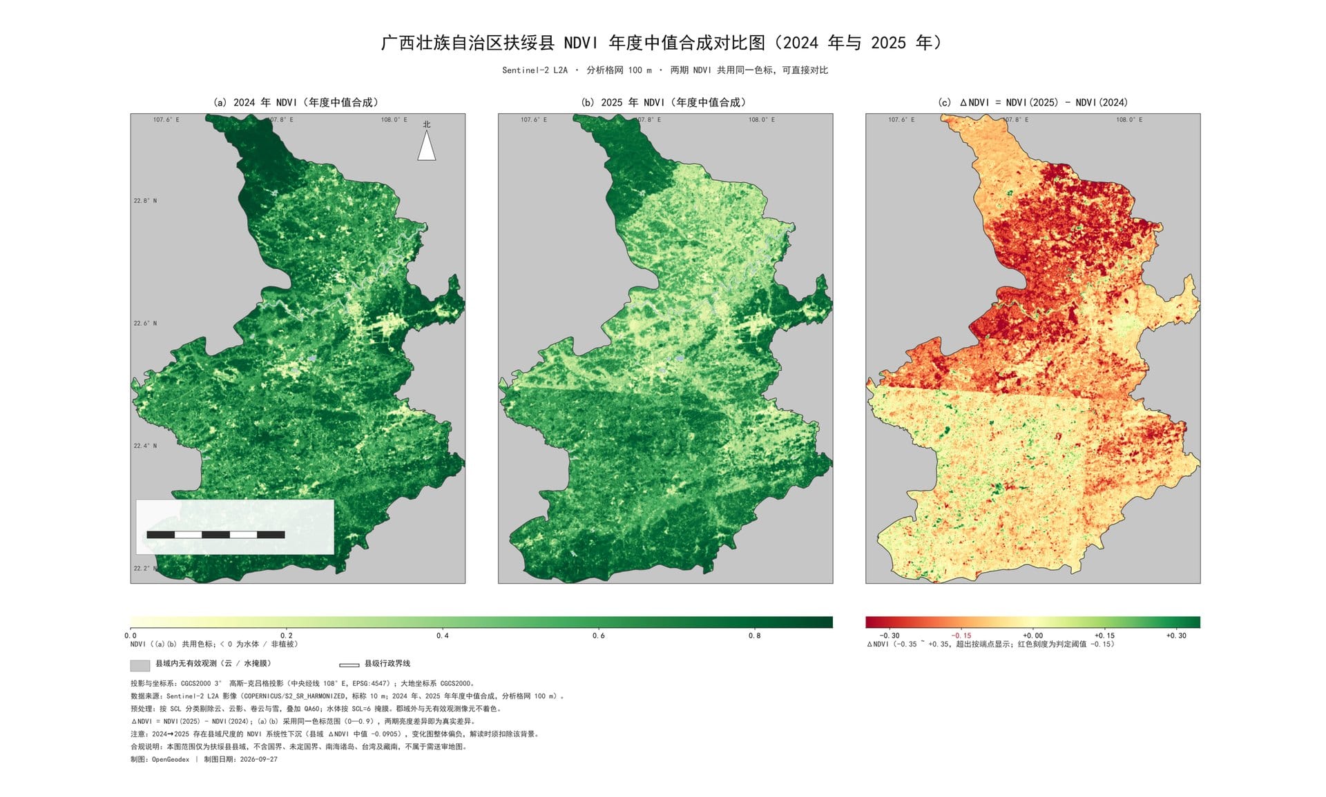
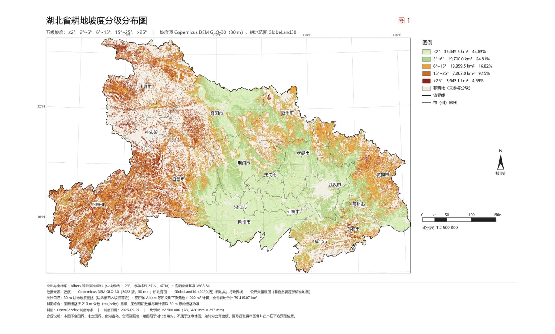
OpenGeodex is a geospatial agent. Describe your goal in natural language and it handles data collection, processing, and cartography — no GIS software to learn.
opengeodex — agent

WHY
Three pillars
💬
Natural language
Describe your goal; multi-role agents orchestrate collect → process → map.
🔒
Local-first · private
Runs locally. The LLM sees only metadata — never your real geodata.
🗺️
End-to-end pipeline
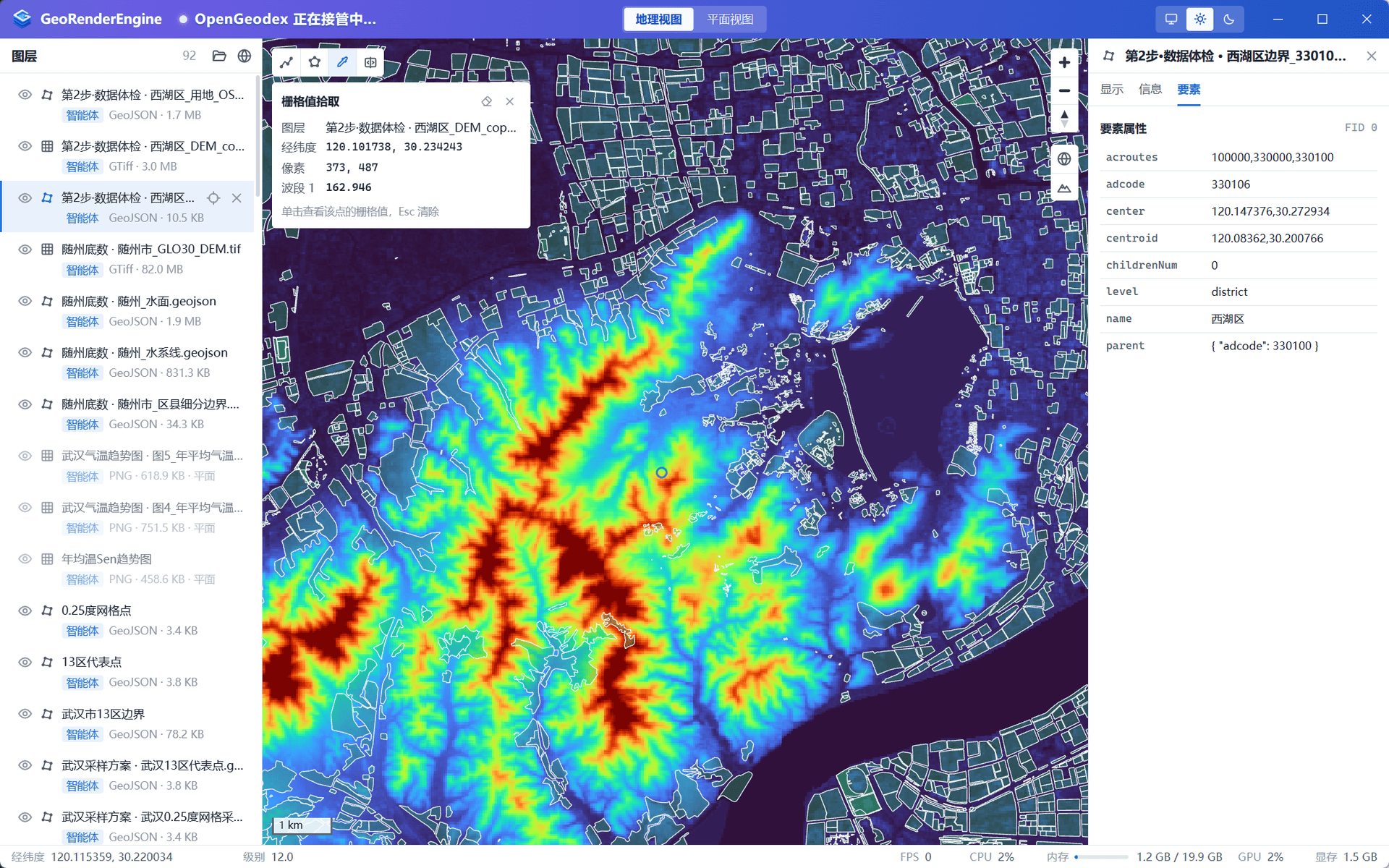
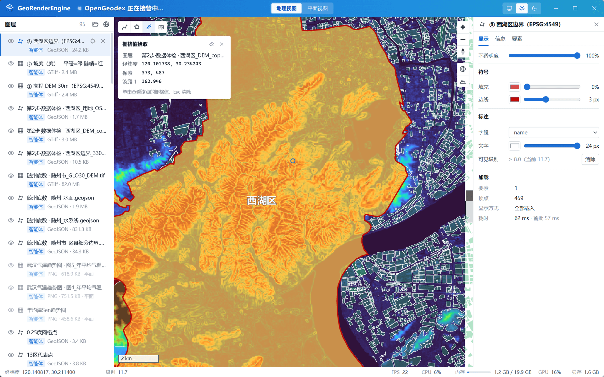
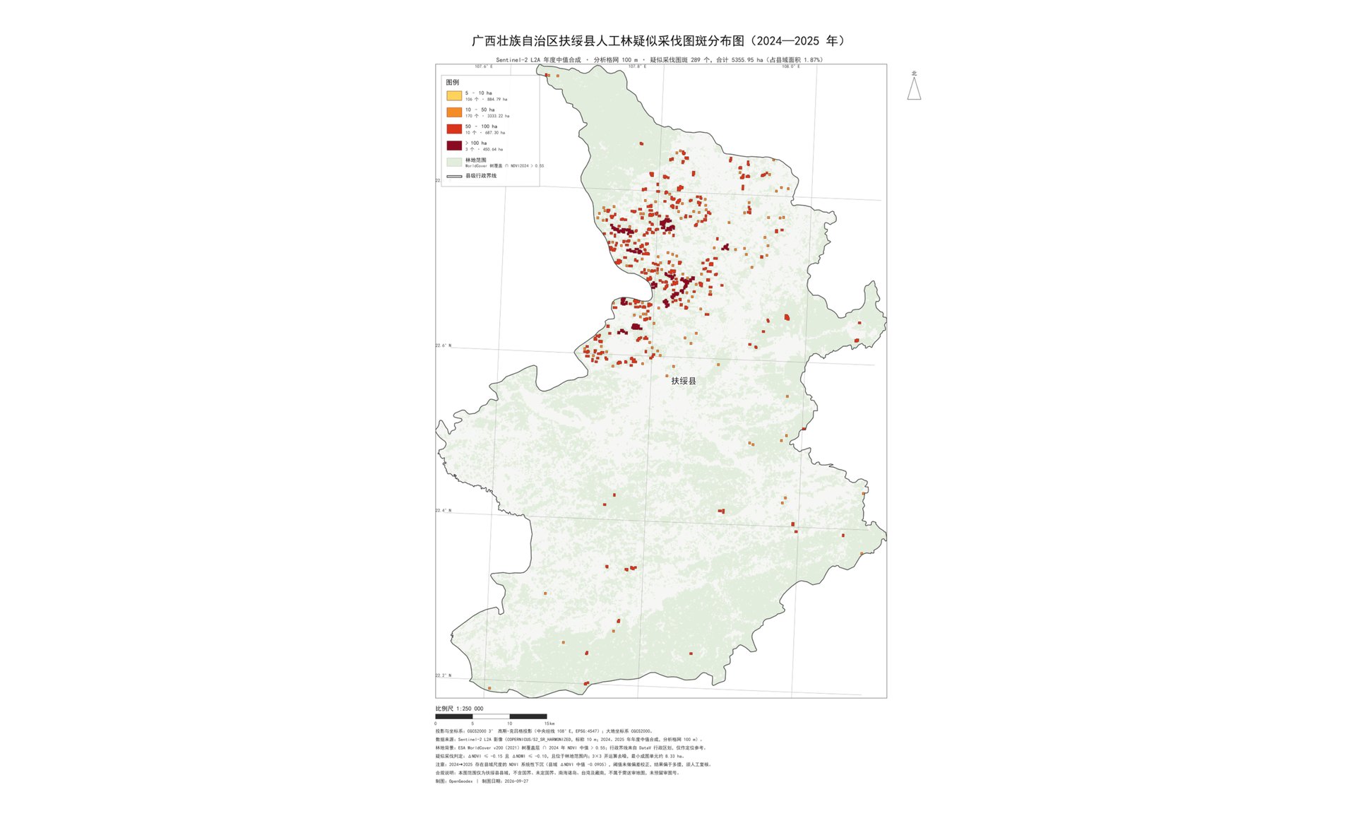
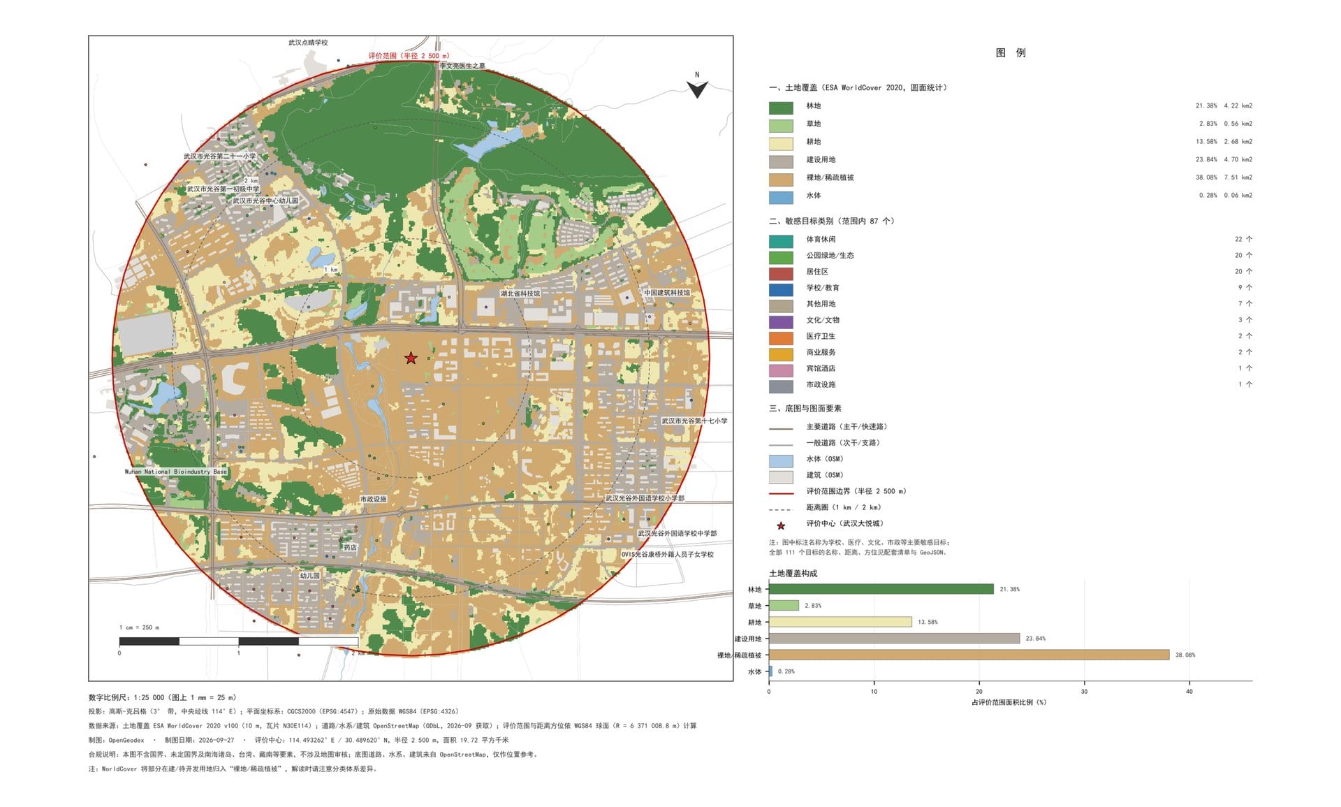
DEM / imagery / vector / cartography / PostGIS — raw data to final map.
CAPABILITIES
Capabilities
🤖
Multi-role agents
Coordinator / collector / processor
🧠
Multi-model LLM
GLM / DeepSeek / any OpenAI-compatible
🛰️
Spatial data
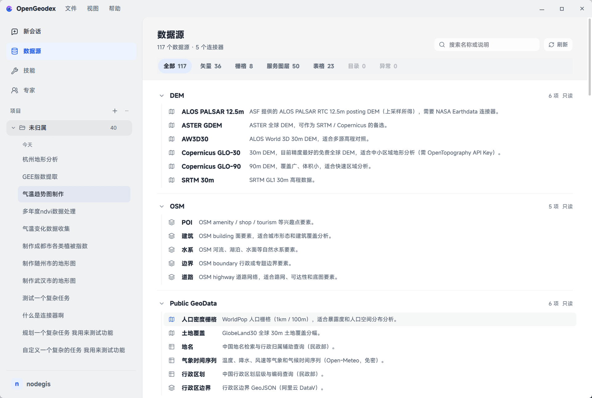
DEM / imagery / boundaries / OSM
🧩
Plugin system
GDAL / GMT / QGIS
🔌
MCP ecosystem
Amap / stdio · sse
📊
Observable · async
Traces / job scheduling
USE CASES
Who is it for
🎓
Student
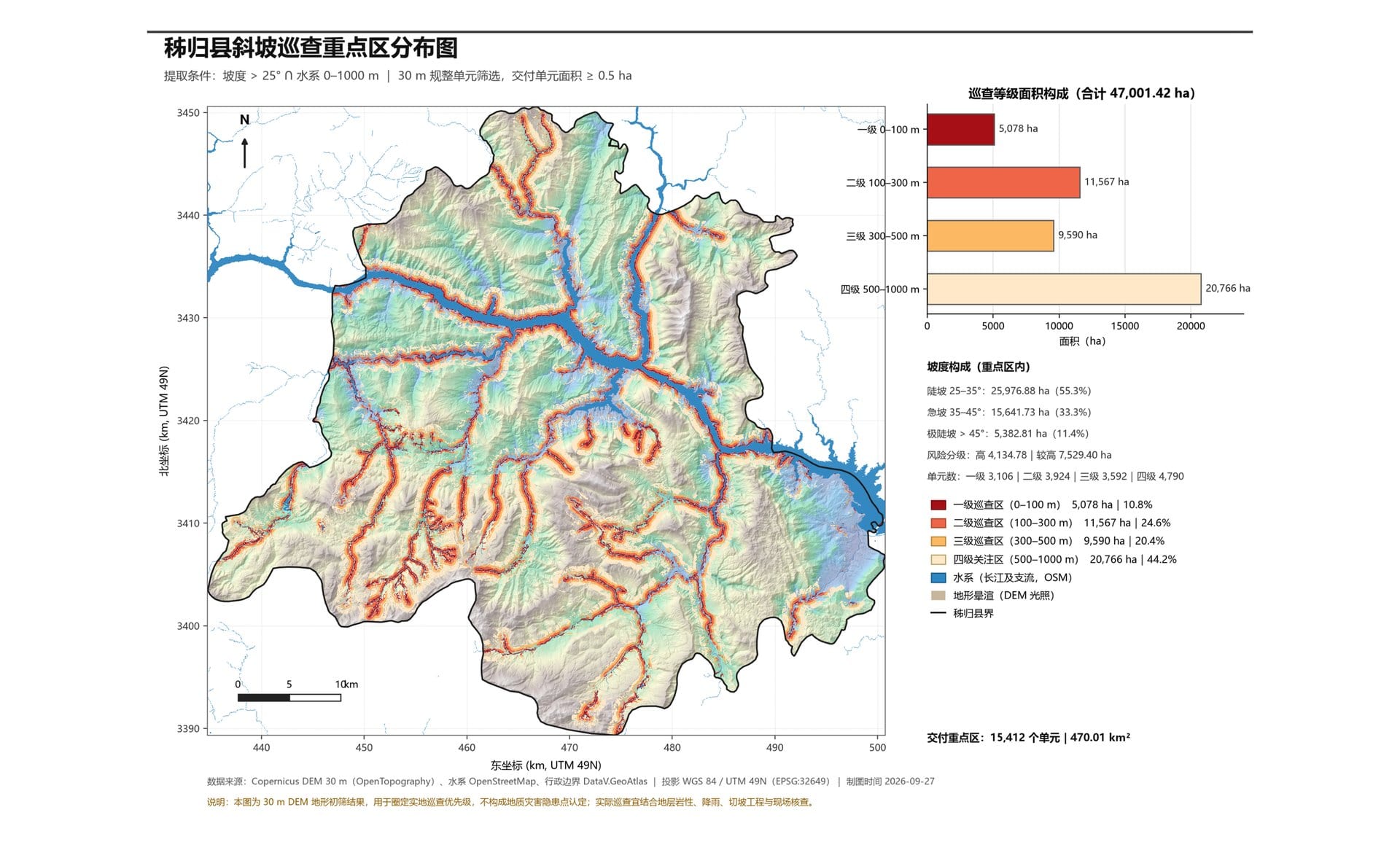
Course topographic map
🔬
Researcher
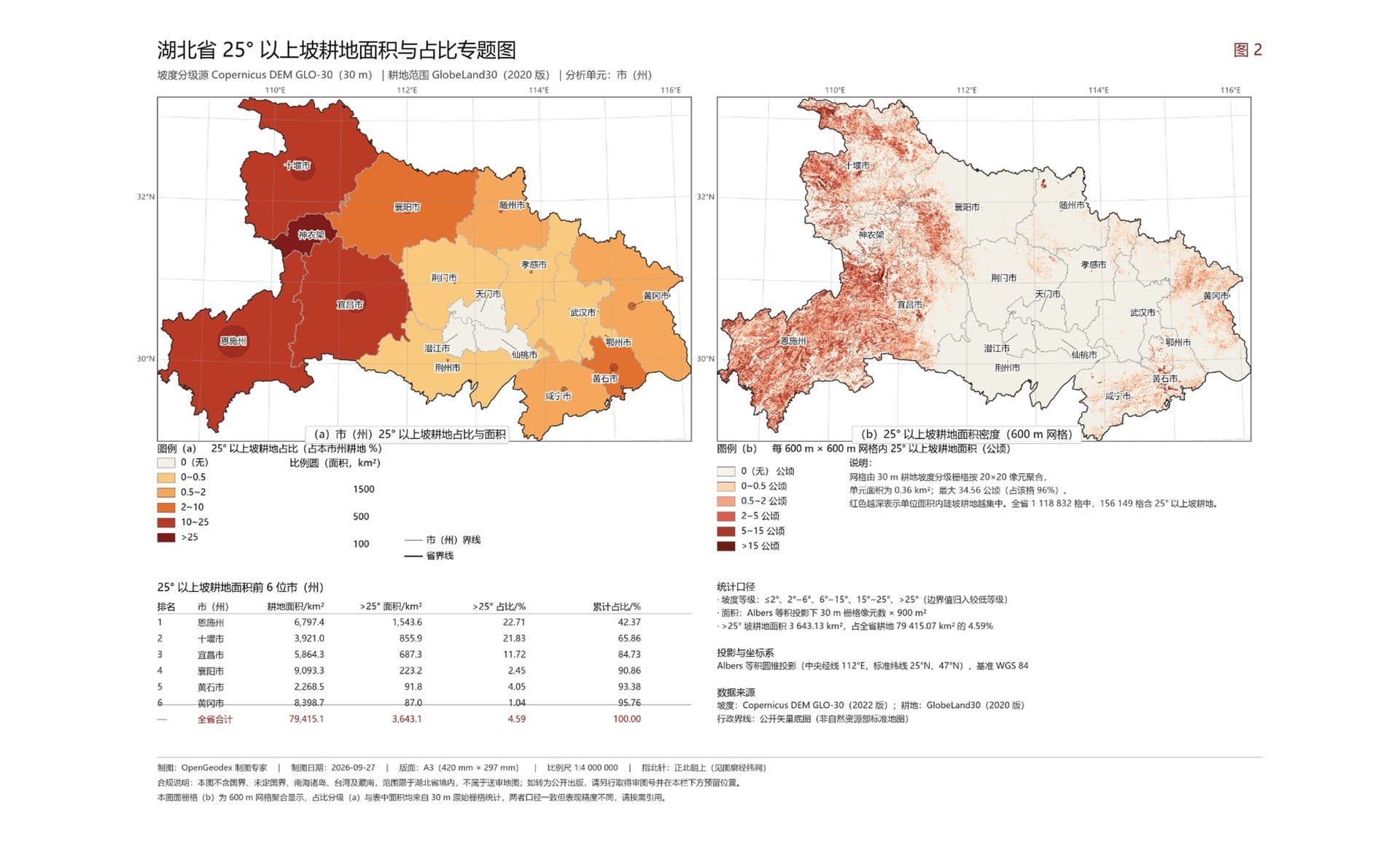
Choropleth figure
🏢
Non-specialist
Site selection
🛠️
Data engineer
Batch ingest
ARCHITECTURE
Architecture
opengeodex-tuiTerminal client · ratatui + crossterm · SSH
opengeodex-appOp registry · multi-role agent · MCP · plugins
opengeodex-storeSQLite · encrypted connections · tasks
opengeodex-corePostGIS / GeoServer / SQL safety / sandbox / AI